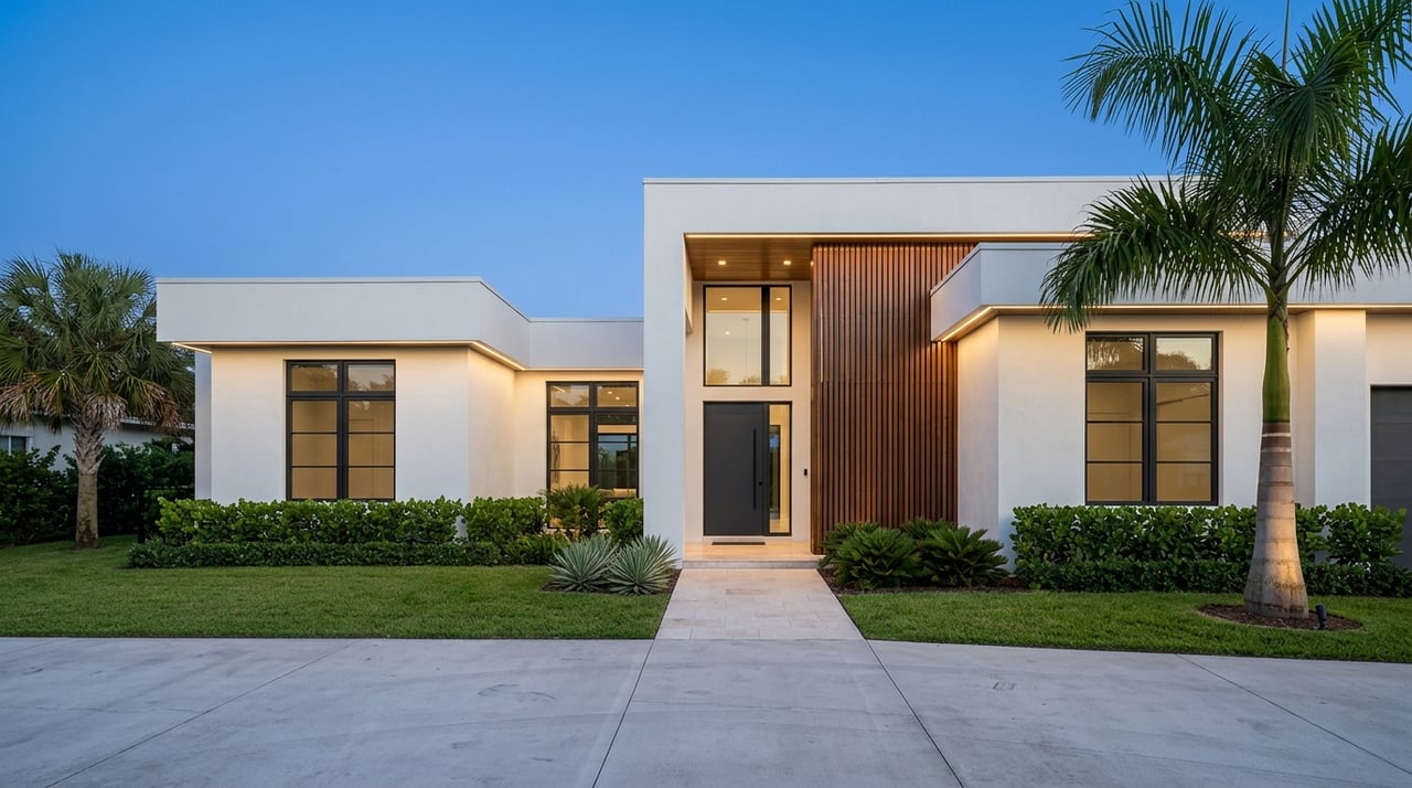
If you are searching for redevelopment sites in Tampa’s Westshore, broad corridor buzz is not enough. In South Westshore, the right site usually sits at the intersection of zoning, access, surrounding context, and public investment. If you want to separate real opportunity from expensive guesswork, this guide will show you what to screen first, what city records actually matter, and why parcel-level diligence drives better outcomes. Let’s dive in.
Why South Westshore Draws Attention
Westshore holds a unique place in Tampa’s planning framework. City comprehensive-plan materials describe it as the city’s principal business district, and the broader Westshore business district is treated as a regional attractor tied to Tampa International Airport, Rocky Point, Drew Park, and the Westshore Areawide DRI.
That said, Westshore does not always mean the same thing in every document. The broader planning district is different from the narrower Westshore Overlay District, which excludes Rocky Point and land west of Eisenhower Boulevard. For redevelopment, that distinction matters because your site strategy should follow the parcel’s actual planning and zoning context, not just the neighborhood name.
South Westshore also benefits from durable demand drivers. Tampa International Airport is about five miles west of downtown, and the city’s mobility strategy calls for premium transit corridors linking Westshore and Downtown. That creates a long-term case for projects that value connectivity, mixed-use potential, and improved mobility.
Why the South Edge Requires Care
The southern edge of Westshore brings a different layer of complexity. Adjacent areas such as Westshore Palms and Beach Park shape how redevelopment is evaluated because neighborhood transition, buffering, and compatibility become more important near established residential areas.
Westshore Palms is generally bounded by I-275, Westshore Boulevard, Kennedy Boulevard, and Lois Avenue. Beach Park is described by the city as a historic, established South Tampa neighborhood with large oaks, winding streets, and very large lots. In practical terms, that means redevelopment in South Westshore often succeeds when design, access, setbacks, and landscape buffering are considered early.
This is one reason the most attractive opportunities are not always the largest tracts. A smaller parcel with the right frontage, circulation, parking strategy, and transition to nearby homes can be more workable than a bigger site with awkward edges.
What Sites Tend to Work Best
The City of Tampa’s comprehensive plan gives a clear signal on where redevelopment energy is likely to land. It encourages infill development on vacant and underutilized sites and supports redevelopment in business centers through structured parking and the infill of parking areas with multi-story mixed-use buildings.
That makes several site categories worth screening first:
- Older office pads with excess land or outdated layouts
- Strip-retail centers with shallow improvements and large parking fields
- Surface-parking-heavy properties in strong commercial locations
- Aging hotel parcels with redevelopment potential
- Assemblage opportunities where multiple parcels can create better frontage, access, or scale
These property types align with the city’s stated redevelopment direction. They also tend to offer the kind of underutilization that can support a new concept, subject to zoning and site constraints.
Why Overlay Standards Matter More Than Headlines
The Westshore Overlay District is designed to support pedestrian-oriented mixed-use development, including retail, commercial, and high-density uses, while minimizing impacts on lower-density residential development. That framework tells you a lot about what the city wants to see on the ground.
The code emphasizes pedestrian connections, upgraded hardscapes and landscaping, buffers between incompatible uses, and CPTED principles. For a developer or investor, this means site planning should account for more than density alone. Frontage quality, walkability, parking efficiency, transitions to neighbors, and a clean public realm can all affect whether a parcel feels viable.
This is especially relevant in South Westshore. A site may look compelling on paper, but if it cannot accommodate access, setbacks, landscape treatment, and a reasonable relationship to nearby homes, it may be harder to execute than expected.
Start With Parcel-Level Screening
A common mistake is evaluating Westshore by reputation instead of by parcel. In practice, parcel-level entitlement screening matters more than corridor branding alone.
The official Westshore Overlay District runs from Hillsborough Avenue south to Kennedy Boulevard and from Himes Avenue west to Tampa Bay, with Tampa International Airport to the west. The code also ties the overlay to mixed-use and airport-compatibility land-use designations. That means you should verify each site against the actual zoning and future land use that apply to the parcel.
For early screening, the most useful public resources include:
- Official zoning maps
- Future Land Use Map
- Land Development Code
- 2045 Comprehensive Plan update materials
- Capital Improvement Projects viewer
- City transit planning pages
The city’s zoning maps page also notes that maps are provided as-is, updated monthly, and should be confirmed with Development Coordination for the latest zoning information. In other words, public maps are a starting point, not the final answer.
Watch the 2045 Plan Update
Timing matters right now. Tampa is in the middle of its 2045 Comprehensive Plan update, with the Future Land Use, Housing, and Coastal Management update scheduled for spring 2026 and final plan finalization targeted for summer 2026.
If you are sourcing in South Westshore today, that means you should check opportunities against both current rules and the next round of policy direction. A site that looks straightforward under today’s framework may warrant a second look if future land use policy or related planning guidance is evolving.
For buyers, developers, and landowners, this creates both risk and opportunity. It is another reason disciplined diligence and local planning awareness are essential before you make assumptions about redevelopment capacity.
Follow Infrastructure and Mobility Investment
Public investment often helps explain where redevelopment gains traction. In Westshore, current city projects include the Gray Street bike boulevard connecting Westshore to West Tampa, Lois Avenue complete-street improvements with bike lanes and an 8-foot sidewalk, and Cypress Street bike and pedestrian improvements tying into West Shore Boulevard.
These projects do not guarantee success for every parcel, but they do provide useful signals. Improved sidewalks, bike connections, and corridor upgrades can strengthen walkability, support mixed-use planning goals, and change how a site functions over time.
Adjacent neighborhood improvements matter too. Beach Park has active drainage and wastewater-related capital projects, and Westshore Palms has sidewalk improvements listed in the city’s capital projects. For redevelopment screening, those surrounding investments can indicate where infrastructure is already being modernized.
A Practical Screen for South Westshore
If you are evaluating sites in this part of Tampa, it helps to use a simple filter before you spend time underwriting a deal. A workable first-pass screen might look like this:
Check zoning and future land use
Start with the parcel, not the brochure language. Confirm the current zoning, future land use, and whether the property falls within the Westshore Overlay District.
Review surrounding context
Look closely at what sits next to and behind the parcel. In South Westshore, compatibility with nearby residential areas can influence design, access planning, and buffering needs.
Study site function
Ask whether the parcel can realistically handle frontage, circulation, setbacks, parking efficiency, and pedestrian connections. A site that cannot function well on the ground may not justify the effort, even if the location sounds strong.
Look for underutilization
Focus on vacant land, surface-parking-heavy sites, older commercial properties, aging hotel parcels, and possible assemblages. These categories align best with the city’s infill and redevelopment priorities.
Map public investment
Use the city’s capital projects and transit planning resources to understand nearby infrastructure upgrades. This can help you identify both opportunity and short-term disruption.
Confirm city records
Because zoning maps are updated as cases are processed, verify current information with Development Coordination. That extra step can save time and reduce avoidable entitlement surprises.
Why Local Relationships Still Matter
Public records can tell you a lot, but they do not tell you everything. The broader picture from Tampa’s planning documents is that the strongest redevelopment opportunities usually emerge where zoning, future land use, overlay standards, transit access, and infrastructure upgrades overlap.
That is why local site-selection work often depends on parcel review, planner confirmation, and relationship-based sourcing. In a market like South Westshore, some of the best opportunities may come from knowing which owners are open to a sale, which properties have functional redevelopment potential, and which sites fit the city’s direction without forcing the deal.
For investors and developers, that local intelligence can be the difference between chasing noise and uncovering a site with real execution potential.
What This Means for Your Search
Finding redevelopment sites in Tampa’s Westshore is less about finding the most visible parcel and more about finding the most workable one. In South Westshore, that usually means focusing on underutilized commercial land, understanding the overlay and surrounding residential context, and tracking where mobility and infrastructure investments are reinforcing the corridor.
If you approach the search with discipline, you can narrow the field quickly and spend your time on sites that have a stronger planning fit. That is the kind of process that helps you move with more confidence in a complex urban submarket.
If you are evaluating land, assemblage potential, or off-market redevelopment opportunities in South Westshore, KVA Group can help you assess site fit, local context, and sourcing strategy with discretion and a market-informed approach.
FAQs
What makes a redevelopment site attractive in South Westshore?
- The strongest candidates are often vacant or underutilized sites such as older office pads, strip-retail centers, surface-parking-heavy parcels, aging hotel properties, and assemblage opportunities that align with zoning, future land use, and overlay standards.
What is the Westshore Overlay District in Tampa?
- It is a City of Tampa overlay area with standards intended to support pedestrian-oriented mixed-use development while minimizing impacts on lower-density residential areas.
Why does neighborhood context matter in South Westshore?
- South Westshore sits near established residential areas such as Westshore Palms and Beach Park, so buffering, setbacks, access, landscaping, and overall compatibility can play a major role in site planning.
What city tools should you review for Westshore site selection?
- Useful starting points include the Official Zoning District Map, Future Land Use Map, Land Development Code, 2045 Comprehensive Plan update materials, Capital Improvement Projects viewer, and the city’s transit planning pages.
Why should you confirm Tampa zoning information before pursuing a site?
- The city notes that zoning maps are provided as-is, updated monthly, and should be confirmed with Development Coordination, so parcel details should be verified before relying on them for acquisition or redevelopment planning.
How do infrastructure projects affect redevelopment in Westshore?
- Sidewalk, bike, drainage, wastewater, and complete-street projects can improve access, walkability, and corridor function, which may strengthen long-term redevelopment potential for nearby sites.